Tag Archives: ford crossing

Old Dunstan Road

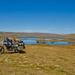
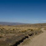
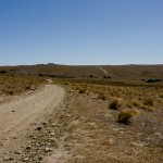
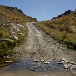
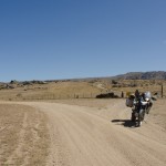
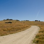
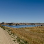
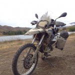
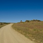
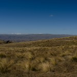
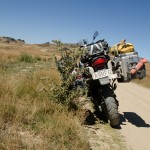
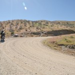
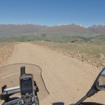
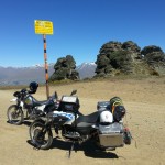
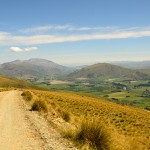
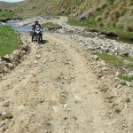
This is one of my favorite Central Southland routes, on a clear sunny day the road is absolutely heaven for adventure riding. It can be done on a rainy day too but the road will change into a single mud track. I have done the road on both conditions and had at the end a big smile on my face despite the rain and mud challenged me to keep the bike up. The difficulty by wet condition is that the rain fill up the road and it is possible that the water level is front wheel depth. Underneath the water is the original track which is heavily used by 4X4 cars, and the cars left big drive lines behind which are not visible from the bike so the risk is very high to slope and slide to the side in the middle of one of the mud pools and drawn down the bike. But by dry condition the track is fine to ride, there are few passages which need extra care since flat gravel is very loose on the driveway the bike could slip on those medium size flat rocks, especially if you travel down hill.


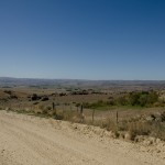
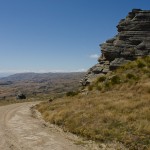
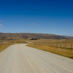
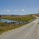
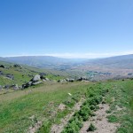
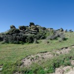
My journey started in Alexandra and I drove up to Galloway, from there I turned onto Crawford Hills Road, where the Gravel road begins. It is a very well prepared road with some nice lookouts on the Dunstan Mountains and North Gough Ridge. The Old Dunstan Road is just a short drive from this point and it is sign posted on Old Dunstan Road or Poolburn Reservoir. The scenery changes from now on many times beside the road pile up rocks and pillars which are very impressive.


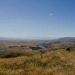
My favorite camp spot is above the Poolburn Reservoir, with a great 180 panorama view, by day and night. Just few kilometers up the road is the first gate, from this part of the road start private land, please stay on the track because the environment is very fragile. After the second gate is a junction if you go to the right you get access to Long Valley Ridge Road which is connected to Serpentines. I decided to stay on the road and drive to Linnburn runs. There is many livestock on such as sheep and cattle, the road is very exposed and steep.


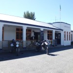
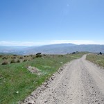
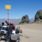
The Linnburn Runs is the first part of the Old Dunstan Road, follow the sign post Paerau which is a historic settlement, remaining of the Styx Jail and the Historic Hotel dated back to 1861 are a good opportunity for a short stop before continue the second part of the Old Dunstan Road. The road is like a highway on gravel, but not a single pot hole or bump. First highlight is just after the first crossing of the upper Taieri bridge, an old grave yard which is dated back to the time gold has been discovered in this time around 1861.  The highest point of the whole road is around the next corner of 918m.


There is one more lake to come Longburn Reservoir, even though it is close to the highest passing point of the whole road it is a good place for camping out before continue to the next day’s journey to Dunedin. The whole road is about 190km off road with different kind of landscapes and changing sceneries, however there is no washroom along the road for a comfort stop.


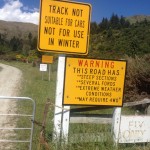
Actually, Old Dunstan Road will be closed in the winter month from 1st June till 1st October. I highly recommend this trip and do some amazing back country camping, to do the whole road over 3 days is really worth it!
Wilderness is an unforgettable experience


Exploring Mt Aspiring National Park is an unforgettable experience with striking landscape formations and bush lines. Mt. Aspiring is located to the South West of Mt. Aspiring National Park. It has a World Heritage status. The wilderness of Mt Aspiring has attracted many outdoor lovers over the years. Outdoor activities like hiking, bouldering, climbing, fishing and cycling are the main targets for many to visit the untouched place. In Wanaka, Mt. Aspiring National Park is well signposted and it is easy to find the way.


On the way out of Wanaka, the Top 10 Holiday Park is just located next to the road and is a very nice place with a great view to Lake Wanaka and the surrounding Mountain.  At Glendhu Bay, there is a typical Kiwi Style Camping Ground which is very busy through the summer month. By Kiwi Campers the privilege of this camp site is to have direct access to the lake and has a boat ramp to lunch the boat into Lake Wanaka. Just a few kilometers away from Glendhu bay is a turn off to west Wanaka Rd, if you take this road it will lead you to West Wanaka Station. There is a DOC car park the perfect start to explore the west side of Lake Wanaka, this location is a good place for fishing in the pristine waters.


To travel from Wanaka to Raspberry Creek is a good day encounter with enough time for a rewarding picnic beside the slow flowing river Matukituki. As we are back to the Wanaka, we take a right turn at Mt Aspiring road towards the mountains. From this part of the road is the road into Treble Cone which is already visible to the left. The first attraction is Diamond Lake, a small lake imbedded into a harmonic landscape, and toitoi.


On the last meter on tarmac is the turn off to Treble Cone. The road is in a good shape to drive up to the Cornet Peak ski lift, on top is a starting point for hang glider on warm days is a very rewarding thermal wind which gives the hang glider a good lift into higher levels. Standing at the car park of Ski lift is an awesome panoramic view to Dunstan Mountains, Lake Wanaka and East of Otago.


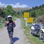
Back to the Wanaka, we take a left turn at Mt. Aspiring Road and a yellow signpost signals the start of the Gravel Road for next 40km, the gravel is very loose some times and many pumps are on the drive way which can make the driving exhausting by too less speed. However, the braided river valleys, native bush land, alpine meadows with relaxing sheep’s and cows rewarding the drive into the dramatic Southern Alps.


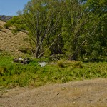
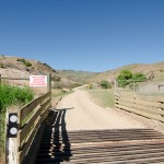
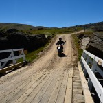
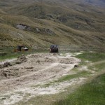
Short after Mt Aspiring Station is the first Ford Crossing usually it look more dramatic than it is very settled underground and easy to drive through, from that point the scenery get better and better, the road follow the braided river valley, with many romantic places to camp or just having a rewarding picnic beside the relaxing flowing river. At the end of Wanaka Mt Aspiring Road is the Raspberry Creek’s car park, with toilet facility. From there, it starts up the day with a walk into the national park. It takes around 3hours for a return trip. For more adventurous individual, you may start the multi day hike back to Glenorchy. Remember not to litter the countryside and to take all the rubbish back with you out, and leave only your foot prints behind. This is for the effort of protecting the beauty of our nature for our Children.


For more information about activities please refer to DOC office in Wanaka and to find out more about the latest updates about the area.


Department of Conservation


Lake Wanaka Area

Office
PO Box 93

Lake Wanaka

New Zealand.

Ph +64 3 443 7660      Fax + 64 3 443 8777

mailto:mtaspiringvc@doc.govt.nz

Unlimited Ford Crossing

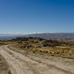
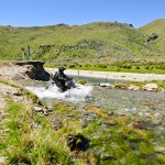
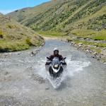
The Nevis Valley is in central Otago, I took the main road to Bannockburn. From there it took only few minutes to get to the main gate into the valley. Then the road ascents for 1370 M to the Nevis Pass therefore the highest public road in New Zealand. There are many photo stops on Carrick Range, to take a look back to Lake Dunstan and Cromwell. It is much better to travel on dry road than the wet one as it could get very slippery. After Nevis Crossing, there are sections with bigger rocks on the road while other sections are very loose with dust. After heavy rainfall the fords rise very fast and results the crossing difficult or impossible from fast current.


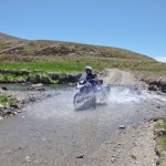
On the day I did the Nevis road it was not for a week and very dry, which is perfect to travel on this road. A few fords were still half wheel deep, up to 60m wide. The splashing water was very refreshing, in the intense heat. I loved each crossing! There are a few gates close to Ben Nevis Station which are usually closed but not locked up therefore easy to open and pass with the bike. The valley is divided by steep rocky gorge, the lower and upper Nevis whereby the upper Nevis is very isolated but with breathtaking beauty of the valley. There are numerous remainders of history are on both sides of the road which is worth to take a look at the old cemeteries, or old Nevis Village. They are the remaining foundations and former settlement. As usual it will be very hot during summer time while winter months are very harsh with thick snow in the valley.


Around 40km before Garston, the road is very rocky and very difficult to ride with a full loaded Adventure Bike of mine. However, it is a very good work out. It is worth to have enough time on this trip as there are numerous camp spots beside the road which are welcomed to pitch up the tent and to stay with the most beautiful scenery of Otago.


I recommend traveling in a group on this trip just in case there is something goes wrong and there is always a support behind. Otherwise, it will be difficult as there is no mobile phone coverage in the whole valley.


The Nevis Valley section from Cromwell to Garston is around 90km long of journey. It took me around 7h to travel included the photo stops and lunch break. If you get on the Sh 6 by Garston, there is a Pub which offers welcoming refreshments. Of course, I will do it again for 2 to 3 days on my next day off. There is too much of the gold mining history to explore!