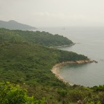
Lamma Island
Lamma Island also known as Pok Liu Chau, is the third largest Island in Hong Kong. Administratively, it is part of the Island District.
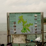
Lamma was named after the shape of the island that looks like a fork of a tree.
The original name of the island is Pok Liu. The island is shaped like two Y in opposite direction. When the British came first to the island, they used the colloquial pronunciation of Lam Ah (Lamma) as the name of the island. Another folk say that the name came from a former Lamaist monastery of the island.
Geography
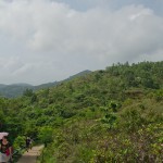
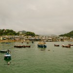
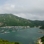
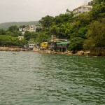
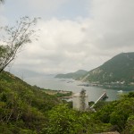
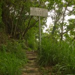
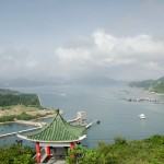
Lamma Island is located to the southwest of Hong Kong. It has an area of 13.55km2 and is 7km in length. The northern village is called Yung Shue Wan, and the eastern village is called Sok Kwu Wan. Not many people live on Lamma Island, there is a hiking track going from Yung Shue Wan to the other side of the island Sok Kwu Wan, both villages get served by Ferry from Hong Kong. Sham Wan is a important breeding colonies for sea turtles.
About the island
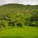
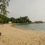
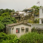
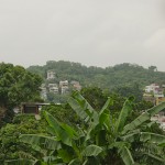
Lamma Island is in contrast of Hong Kong Island, peaceful and isolated, with relatively natural scenery. The island has no air pollution. There are no buildings higher than three story’s allowed on the Island. The only cars that are allowed are for police force, ambulance and construction vehicles.
The community only transport is the bicycle or walk on foot. Property and rent is in comparison to Hong Kong very cheap and affordable. Lamma Island is very popular with young people and musicians.
Transportation
There are regular ferry services to Yung Shue Wan and Sok Kwu Wan from Central on Hong Kong, as well as from Yung Shue Wan via Pak Kok, and to Sok Kwu Wan via Mo Tat Wan, from Aberdeen. It takes about 25 minutes by ferry between Yung Shue Wan to Central at Hong Kong.
External links


