Exploring Queenstown the back country, Lake Moke, Skippers Canyon and Branch Road
I started my trip again but this time in pouring rain in Milford Sound, the forecast does not look good for the upcoming days ahead. As soon as I passed the Devide the rain ceased and the road got drier after I passed Eglington Flats, the sky cleared up and for the first time the sun came through. As usual, I stopped at Te Anau for a coffee break at Pop In café which also provides free WIFI. Before I continued my trip, I stocked up my food supplies at Fresh Choice for the next 4 days.
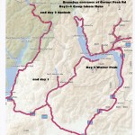
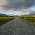
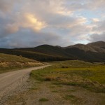
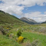
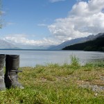
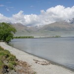
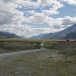
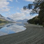
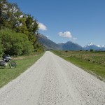
I planned for my first stop as Mavora Lakes. I traveled for about 45km on SH94 towards Moosburn and there is a left turning to Mavora lakes Rd. The road changes from sealed to gravel for the next 90 km all the way up to Walter Peak Station. The gravel road can be challenging with rocky surfaces and potholes. For a safer ride, then the normal sealed road would be suggested in order to get to destination quicker. There are a few beautiful lakes in Mavora Lakes. Personally, I prefer the 2nd lake. I think the camp site there is much better and the view to the mountains is much more spectacular.
Day 2
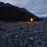
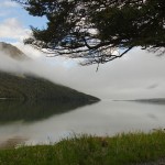
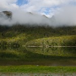
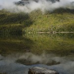
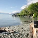
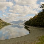
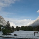
Next day morning, I woke up early and found the misty lake as if in paradise. It is a norm to find chilliness in the morning of summer time until the sun comes.
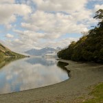
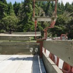
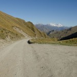
I had to cross the magnificent Lake Wakatipu to Queenstown and the only way is through the TSS Earnslaw Steamboat. From Mavora Lakes, I rode towards Walter Peak Station for the steamboat. On the way there are two river crossings which are easy due to the low water level. It is usually up till the mid wheel. I had done it for a couple of times and never fail to do it on my bike. In the summer season, the temperature can reach 40 deg C in the valley and the air is standing without any circulation. Therefore, a kind reminder for whoever traveling in summer time to bring along sufficient water like a filled camel back.
Just in case you travel in last minute, the ticket for the transport back to Queenstown can be purchased at the Main deck of the steamboat. Transporting a motorbike through steamboat could be daunting. There is
limited storage for the big motorbike so it is better to check with Skipper before bringing the bike on board. When you have secured your bike on board, then it is time to sit back and relax, enjoy the relaxing moments of the crossing through Lake Wakatipu with refreshments, and bakery.
After I disembarked from Earnslaw, I continued my journey to Kinloch via Glenorchy. Kinloch is located 35 km outside Glenorchy and the last 15 km are unsealed. It is very dusty in the summer time or dry months. In Kinloch, there is a DOC camp ground. The fee can be paid in the Restaurant or honesty box. Both are acceptable. Another option for a stay in Kinloch is YHCA Hostel. There are bar and restaurant available.
Day 3
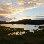
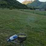
Next day morning, I had a healthy breakfast in the restaurant with scrambled eggs comes with home baked beans, and not forgotten my favorite long black. Then I went to Lake Moke for camping. The camping spot is surrounded by Bobs Peak, Ben Lomand and Wedge Peak which is located next to the entrance to Ben Lomand Station. There is a warden appointed by DOC to look after this camp ground in summer season.
Day 4
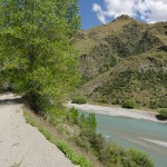
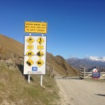
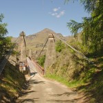
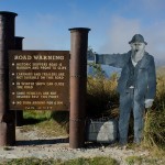
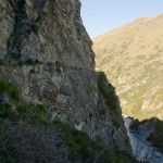
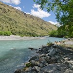
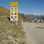
I started early at 8.00am, riding my bike into Skippers Canyon. I worried if I started too late then the temperature gets unbearable in the valley. Actually, the Skippers Road and the Branches Road belong to the top 10 most dangerous roads in the world!
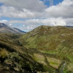
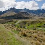
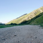
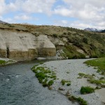
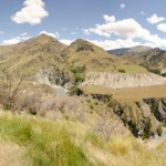
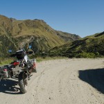
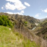
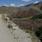
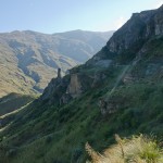
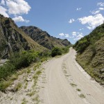
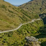
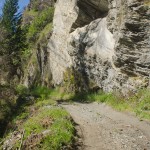
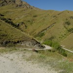
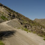
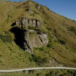
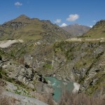
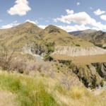
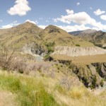
The road is dry therefore easier to ride on. Sometimes it can get a bit challenging when the driver gets very close to the cliff of the road. Skippers Canyon is a historic and scenic gorge. This is not a recommended route to whoever with Acrophobia whereby driver has no confidence with height. Skippers Road is mostly one-way, narrow and steep with sheer drops of several hundred metres. There are only enough lots to pull over to let the oncoming traffic passes. The scenery gets better as I got nearer into the valley. I liked the whole driving on my BMW Sertao, it is just PERFECT on that road!
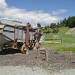
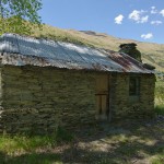
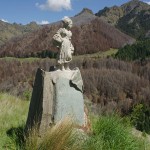
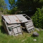
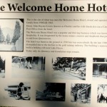
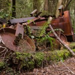
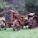
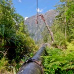
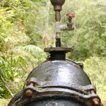
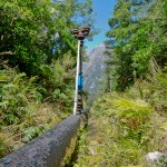
Once a busy gold mining area, Skippers Canyon was accessed by Skippers Road which is today one of New Zealand’s better known scenic roads. There are traces of gold mining history along the road when gold first discovered in year 1862. At the beginning of gold rush, no track or road was present in Skippers Canyon. As the gold miners travelled
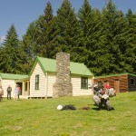
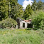
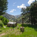
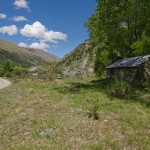
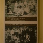
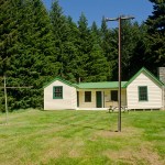
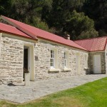
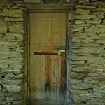
through the canyon with their horses, tracks were formed. The remnants of the Welcome Hotel are still visible. It was used to be a happening place for miners and travelers from Queenstown dated back in year 1862 till 1927. By the time, the gold rush was basically over, the hotel got dismantled and the wood was used to build a shed at Lake Hayes. I traveled to the Township Skippers Canyon for a camp ground. There, some historical buildings were found like a school was in use way before year 1927 (that is 86 years ago).
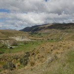
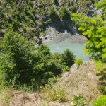
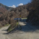
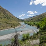
On my way back I chose to travel on the Branches Road which are connected to Skippers Canyon Rd. The road is much more spectacular than Skippers Rd. At least it has no oncoming traffic. The view is marvelous, but road is narrow, steep with sheer drops. It is a one way gravel road with maybe 8 river crossings (who cares as I stopped counting at the end). About 3.5 km to the end of the road, it gets harder to ride as the rocks get bigger and the traction is not as good as before. By the last river crossing, there is a lot of sand on the bottom of the road with big rocks covering on top. It could be difficult to cross the river without slipping on the sand.
At the end I rode my bike for nearly 7.5h and covered 70km’s on all kinds of gravel, sand river crossings and under extreme temperatures of around 40 deg C at mid day. I have been covered completely in dust owing to the oncoming traffic when I drove back on Skippers Rd.
My water supply was just enough. They are 3Litres in total.
After all, It was a great experience of Adventure Riding and I can only recommend this extreme journey to anyone who loves different kinds of travel, with no Acrophobia and not afraid of crazy bus drivers. Whoever is interested to take up this challenge on Skippers Canyon, beware of oncoming traffic in opposite direction! I would advise to watch out for dust clouds from afar to check out the next passing lot to let the traffic passes as it is much safer than to wait at the last minute.
Day 4
Finally, this is my day to ride back Milford Sound for my10 days of shift. I am already looking forward for more Adventure Rides in South Island as well as overseas trips in my next days off. Keep the wheel spinning!
