4/10/2013 to Tuatapere
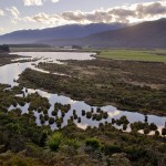
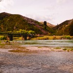
First day we headed towards Tuatapere from Milford Sound through State Highway 94. We departed about 330pm. On the way we stopped at Red Cliff Wetland Reserve developed in year 1977. It is a good stop for a panoramic view of the wetlands from top. It is a picturesque area combining Winding River and forest. Our second stop at Clifden Suspension Bridge. It is spanning 111.5m above once the mighty Waiau River remains as a memorial to those involved in the design and construction from 1896-1899. It claimed fame as having the longest span of any suspension bridge in NZ. This bridge is made from concrete mixed by hand and poured inside boxing by bucket and windglass as height grew. We spent the night at Last Light Lodge Café and Backpacker. We were surprised to know that we are the second guest of the lodge.
5/10/2013 to Surat Bay
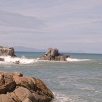
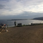
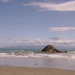
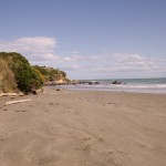
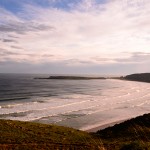
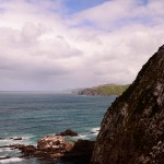
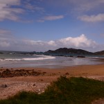
Second day, we had a breakfast at Yesteryears Museum and Café which is just few kilometers away. This is a privately owned museum of rural Southland history, set in a warm café atmosphere. We were greeted by Helen, the café manager and enjoyed listening to some familiar songs played on old back disc player. In the café aka museum, you will get to see Helen’s collection of green glass and kitchen goods from four families who lived in Tuatapere area, as well as artifacts from the town’s schools, churches and business. After that, we continued journey down towards Invercargill using State Highway 99. On the way we stopped by McCracken’s Rest near Orepuki. It is a rest area that provides spectacular panoramic coastal views from Pahia to the Waiau River mouth and further around to the former timber town of Port Craig. Our next stop is Monkey Island which is not far from McCracken’s Rest. It is a small island and mini lagoon off the southern end of the beach. It is also accessible during low tide, with a small walking track. This rocky knob, which becomes an island at high tide, has great significance to Maori as the anchorstone of the legendary Takitimu waka/canoe which was wrecked in Te Waewae Bay. Monkey Island was a traditional Maori lookout for whales too.
Driving on Orepuki Riverton Highway, we stopped by Cosy Nook. It is a delightful area, including Garden Bay is well worth the visit as the road in reveals a very picturesque craggy cove that today shelters several fishing coats & holiday cribs. Then we moved on to Invercargill town. There, we found “Indian” in Hammer Hardware shop. There are many old motorbikes displayed in the store apart from hardware selling as the main business. We are proud to behold the well known motorbike which is developed by the late H.J Burt Munro from a 1920 600cc Indian Scout. It was officially timed at 308 km/h reputed to have exceeded 322km/h therefore it is claimed to be the world’s fastest Indian.
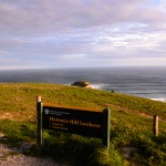
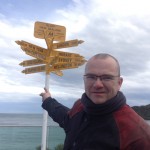
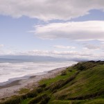
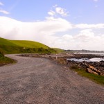
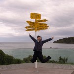
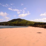
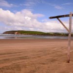
We proceed to the southern-most town in New Zealand, Bluff through State Highway 1. We visited Stirling Point which is named after Captain William Stirling who established a whaling station for Johnny Jones in 1836. Standing like a sentinel at the entrance to the harbor is the Stirling Point pilot station built in 1912. The world famous Stirling Point signpost attracts many thousands of visitors each year. It was originally built of timber. Due to repeated vandalism it was replaced in metal and cemented in place. Today’s version gived directions to 12 locations including Invercargill’s sister city Kumagaya, Japan. After that, we continued journey towards Surat Bay using Chaslands Highway. On the way we stopped by Florence Hill lookout, Catlins. It is near the top of hill on the other side of Arno River. You may view the coastal golden beaches from top. We stayed at Surat Bay Lodge which is right on the beach in the bayside hamlet of Surat.
7/10/2013 to Dunedin
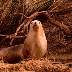
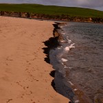
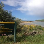
Next day, we woke up early morning to watch sea lion at the nearby beach. According to the lodge owner, there is a specific time to watch sea lion that is about 9am. You may try your luck in the bushes just in case you cannot find them on the beach. Surat Bay offers a rare opportunity to observe sea lions in a natural mainland environment. Sea lions use the sandy beaches to rest, sleep, pup, mate and play. They interact socially each other while ashore. Unlike fur seals, sea lions are not afraid of people. They can move quickly on land and can be playful in the water. However, sometimes they can be aggressive if provoked. We were lucky to observe a sea lion that was resting on the beach before giving up to find one. It was a heavy downpour right after the stroll on the beach. We waited in the lodge for about 30min before continuing.
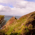
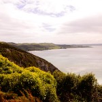
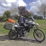
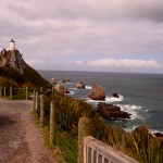
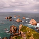
Our next stop is Nugget Point which is located at the northern end of Catlins coast down the road from Kaka Point. This steep headland has a lighthouse at its tip, surrounded by rocky islets aka The Nuggets. The bike ride is a tough one due to the strong crossing wind. The whole bike was shaking wildly before able to stabilizing it. It took us about 3 hours ride to reach Nugget Point. The walking track to light house and viewpoint is about 600m of distance. On the way, we passed the viewpoint of fur seals’ nurseries. The tracks took us about 15 min to reach the light house where the “nuggets” scattered around the sea. It was about 4pm, we continued our journey towards Dunedin (which is known as student city) through State Highway 1. After checking in Elm Lodge, we went to Otago peninsular for sunset. Then we continued to check out blue penguins nearby then noticed it needs admission fee and the same to Albatross watching.
8/10/2013 to Queenstown
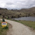
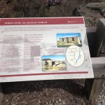
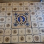
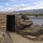
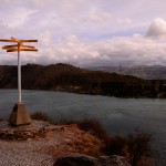
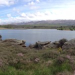
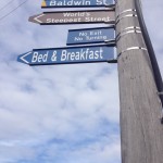
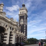
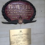
On the fourth day, we started the journey with the first stop at the world’s steepest residential street at Baldwin Street, Dunedin. The street runs up the northern side of Signal Hill, a prominent hill overlooking Otago Harbour at slopes of up to 1:2.86 (for 2.86m horizontal distance, a rise of 1m). The steepness was unintentional as grids were laid out by surveyor without proper regard for the terrain. Our next stop is Dunedin Railway Station which is set in Flemish renaissance style. We were amazed by the conservation of the architectural. The booking hall features a mosaic floor of millions of Minton tiles. From there we proceed to the next stop at Flat Top Hill, central Otago. Due to its geographical location, it is in a “rain shadow” with less than 350mm of rain falls each year. Summers are hot (up to 39 deg C) and very dry. The area includes historical evidence of European and Chinese settlement. At the end of walking track, there is a Butcher’s Dam. The dam is now private owned who have kindly allowed public access across the dam to the Flat Top Hill conservation area. We left and continued on a long winding road by State Highway 8. On the way to Queeenstown, we stopped by Bruce Jackson Lookout whereby there is a signpost pointing out to many different directions like Milford Sound, Christchurch, Invercargill, Mount Cook and etc. About 30min of ride, we stopped at Cromwell lookout. There is a dam named the Roaring Meg which is the turbulent stream that both drives this hydro electric power station and merges with Kawarau River. The weather is just right for a ride down to Gibbston Valley. It is a home of Winery, restaurant as well as the largest wine cave in New Zealand. Opposite the restaurant is a cheesery which sells good cheeses. Then we continued our journey all the way down to Queenstown and checked in Heartland Hotel for the 99th stay.
